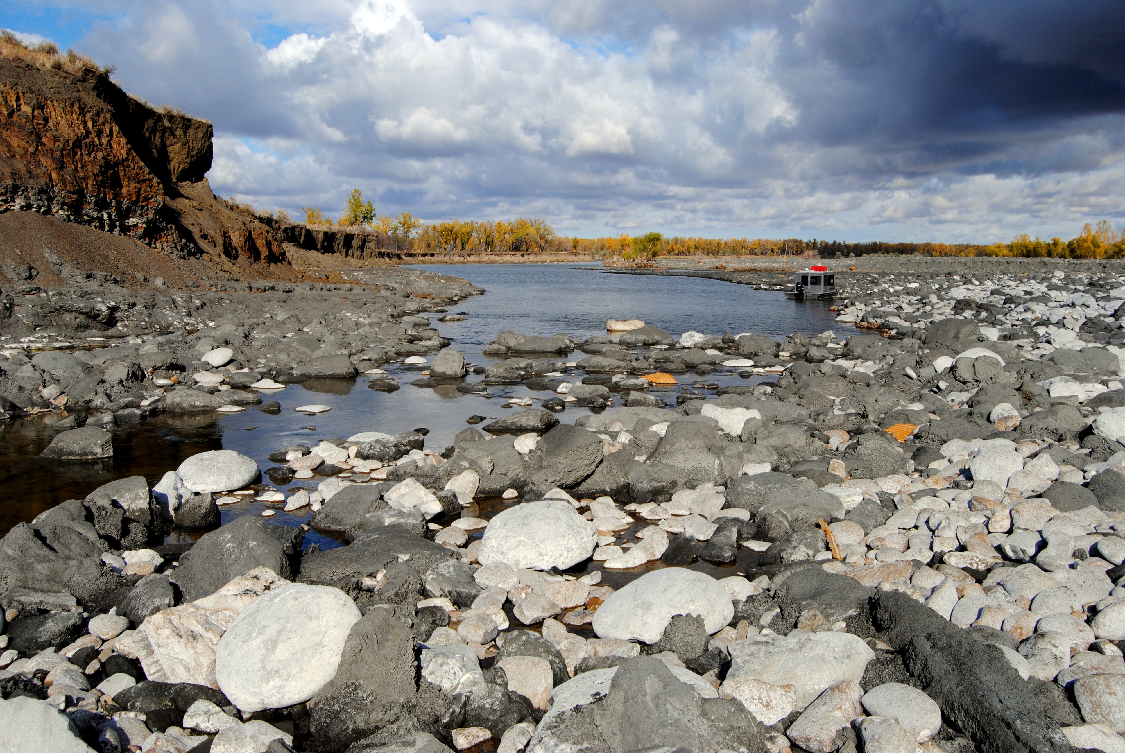
Stockwell Engineers teamed with Aero-Graphics (Prime) and Morrison-Maierle for the LiDAR acquisition in nine counties in Montana for Floodplain Studies and Management. Stockwell’s part was to supplement the LiDAR acquisition with hydrographic surveys on the Yellowstone River in Custer, Dawson, Rosebud and Treasure Counties in Montana.Stockelled obtained five cross-sections per mile along the main channel and braids if accessible by boat. Single beam hydrographic survey data was collected on the range lines using a n ODOM CVM fathometer with a continuous digital strip chart recorder to record the underwater range profiles. The fathometer was calibrated for draft by bar checking at the beginning of work and the fathometer was calibrated daily for the average speed of sound and temperature in the water column with an ODOM Digibar Pro sound velocity profiler. Horizontal positioning was accomplished using a Trimble receiver running in Real Time Differential mode utilizing WAAS as a real time DGPS correction service. The GPS System consisted of a boat mounted GPS receiver receiving the WAAS correction message on the GPS L1 frequency.Water surface elevation was obtained by utilizing Trimble CenterPoint RTX with checks into the primary control.Pictures at each cross section were obtained looking upstream and downstream from the boat with Lat/long and time stamped on the pictures and a specific naming convention was used to corelate to the cross-section name.Final delivery to Aero-Graphics was provide in a .csv point file along with cross-section pictures. The project was coordinated to conduct the hydrographic surveys during the spring melt and highwater conditions.