Stockwell Engineers was contracted to conduct topographic and hydrographic surveys on Cherry Creek and Chatfield Lakes in Denver, Colorado.
The scope called for 35 total sediment ranges to be surveyed on the two lakes. The range data was collected in NAD83, Colorado Central Zone 0502 and the vertical data was collected in NAVD88 and later converted to NGVD29 all in U.S. Survey feet. OPUS solutions were collected on exisiting project control monuments at both lakes to verify or adjust their pool elevation gages. Data was collected every 25 feet or 1 foot of elevation breaks along the range lines.
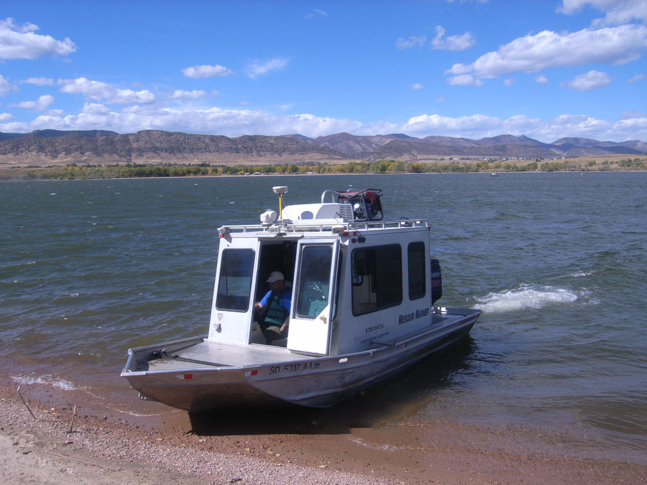
The hydrographic survey data was collected utilizing a 12-ft Jon boat on the dredge ponds and an 18-ft custom built hydrographic survey vessel on the lakes. Horizontal positioning of the survey vessel was accomplished by using a survey grade GPS system running in Real Time Differential mode utilizing the Wide Area Augmentation System (WAAS). WAAS calibration check was performed by occupying a monument that had known coordinates. An ODOM CVM fathometer with a continuous digital strip chart recorder was used to record the underwater range profiles. The CVM fathometer was calibrated by bar checking prior to collecting hydrographic survey data. The velocity of sound was further refined throughout the entire water column using a Digibar Pro Velocimeter.
The ground observations were obtained by Real Time Kinematic GNSS methods. Observations were performed with Trimble R8 Model 3 GNSS receivers. Solutions for each point were referenced to a Local Site Control Station and determined using Trimble Business Center.