Garrison Dam, located in central North Dakota, forms the reservoir known as Lake Sakakawea – the largest Army Corps of Engineers lake on the Missouri River. The US Army Corps of Engineers monitors the structural movement, to the nearest 0.001-foot, taking place over time on the dam under its control on a periodic basis. Through the efforts of a number of different delivery orders from the US Army Corps of Engineers, Omaha District, Stockwell has conducted extensive structural movement surveys on the Garrison Dam since 1997.
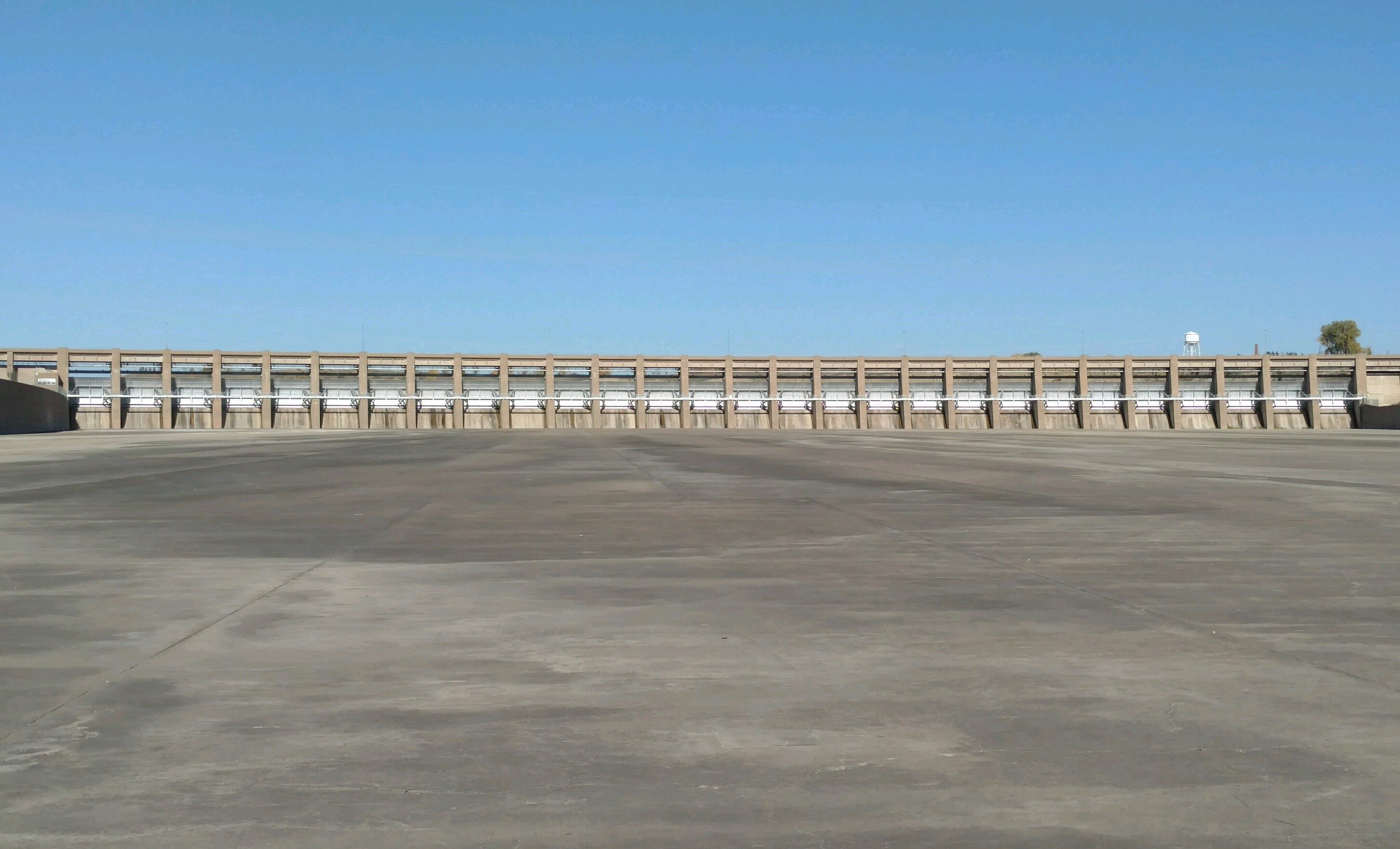
In 2017, vertical movement was determined on 60 movement points in and around the powerhouse and surge tanks. Stockwell Engineers determined elevations for the intake structure’s movement points and piers on the service bridge. Challenging confined space surveys in the dam’s penstock tunnels were performed to monitor potential vertical movement. Stockwell’s crew also determined vertical movement on crest and slope markers on the mainstem dam and peizometers along the upstream face of the Snake Creek embankment. Extensive monitoring of horizontal and vertical movement was also completed on the massive spillway structure. Over 21-miles of level circuits were run within First-Order Class II Standards.
Precise Global and State Plane coordinates were determined on all permanent control points in the project area with a combination of Static, Kinematic, and Real-Time Kinematic GPS surveys. Two first-order NGS stations were incorporated in the initial survey network. State Plane Coordinates were determined on all crest markers and unusual movement points. The firm used electronic digital levels on portions of the project where high accuracy vertical control was required.