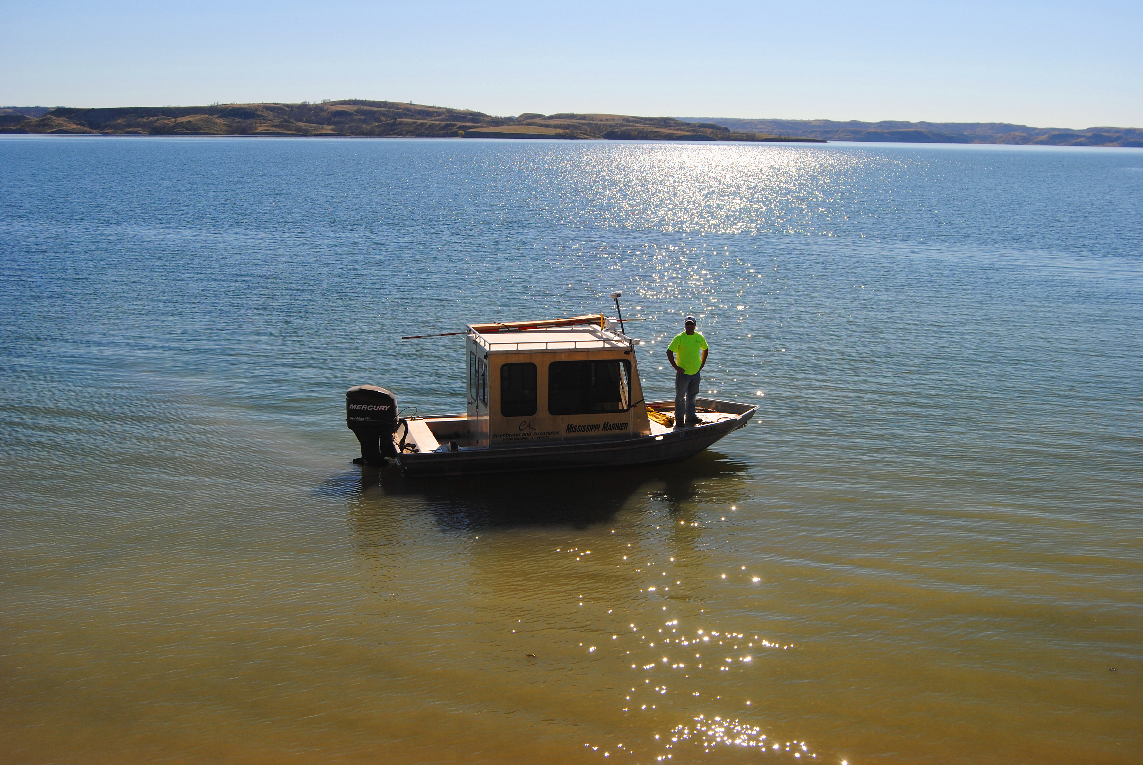
Stockwell Engineers conducted a bathymetric survey that involved taking 2D soundings at 100 to 250-foot intervals along range lines per USACE standards so that the lake bottom could be adequately defined for mapping purposes. The hydrographic survey was conducted in close coordination with USACE staff and surveyed at or above the multipurpose pool elevation to ensure water conditions were met for each survey. Gage readings were recorded twice daily. The hydrographic survey for each lake was conducted using a 18-foot survey boat equipped with a survey crew and electronic positioning equipment for the collection of horizontal positioning and a sonic depth sounder that met specifications required to obtain underwater elevations. The hydrographic survey data collected was processed using Hypack software. The coordinate system was UTM Zone 15, NAD 83 (2011) expressed in meters with all vertical survey data collected in NAVD 88 expressed in US survey feet. The ellipsoid heights acquired by GPS were converted to NAVD88 using GEOID12B.