The Omaha District of the U.S. Army Corps Engineers, under a five-year survey contract, requested Stockwell Engineers to provide records research, boundary survey, geodatabase development and to record Certificate of Surveys for three different areas along the Big Bend Lake Project encompassing multiple parcels in Buffalo and Lyman Counties, near Fort Thompson, South Dakota. The government boundary abuts the Crow Creek and Lower Brule Reservations in South Dakota.
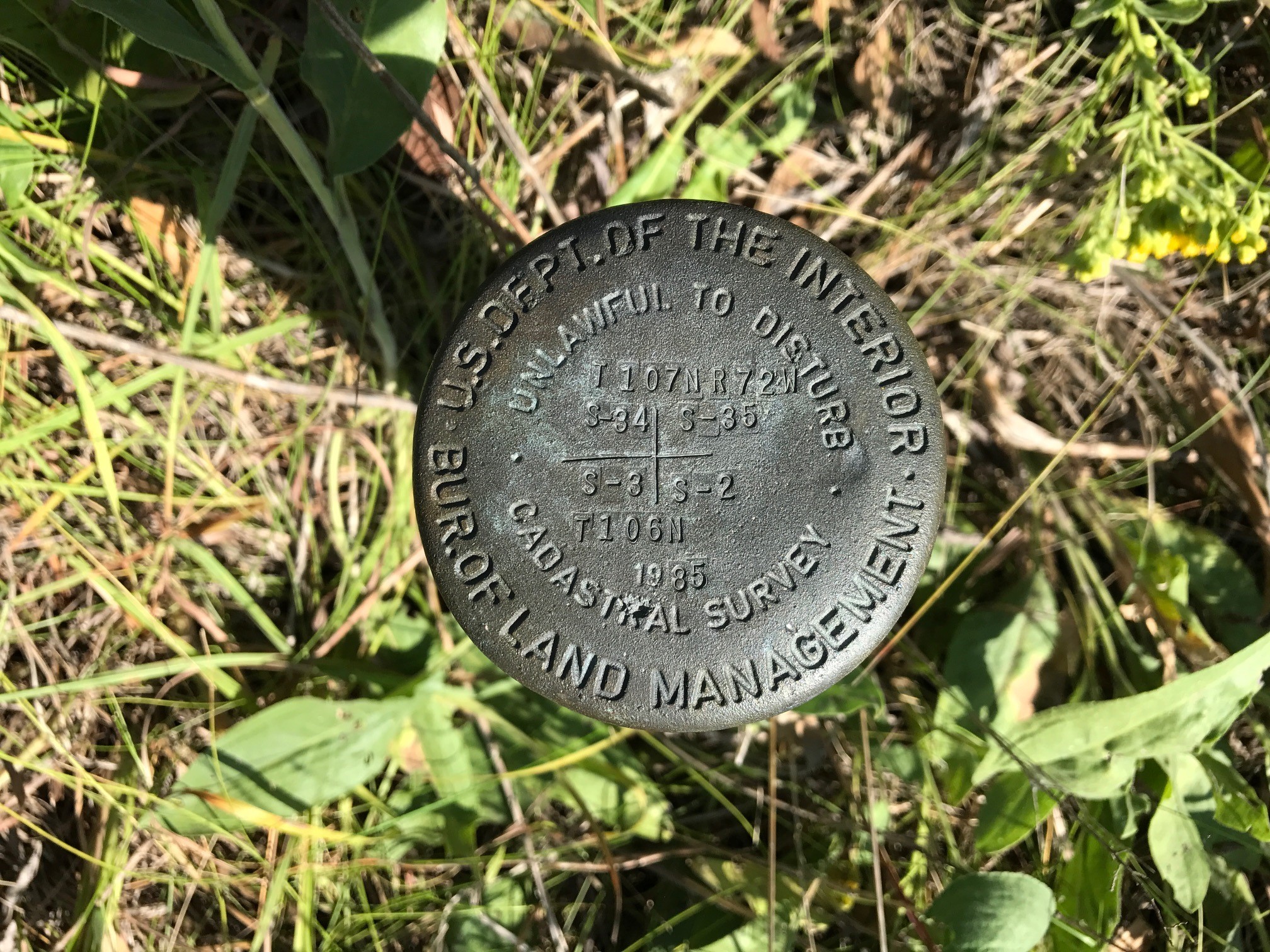
The three Big Bend sites encompassed the resurvey and subdivision of eight sections and the posting of seven miles of government boundary. Research was performed in multiple courthouses, BIA and at the South Dakota DOT. Coordination with the local USACE office and landowners was critical for the field crews’ access to the remote areas to be surveyed. All three sites required certificates of surveys and corner records to be recorded in their corresponding counties.
Some Areas were difficult to access by ATV so crews were forced to carry equipment and supplies in some areas up to half a mile. Besides the rough terrain many of the corners fell in wooded areas that had to be traversed through, to search for and collect data on found monuments and other field evidence.
Many of these same obstacles were encountered while monumenting and posting the property boundaries, rebar, caps, carsonites. Wooded areas were traversed through using robotic total stations, carried in by crews up to half a mile, to set all monuments and carsonites on line.
Stockwell’s crew tied out and or set 20 government corners that were file at respective County Courthouse along with certificate of surveys. The project was complete ahead of time and at project costs.